Updated: Saturday, July 5, 2025
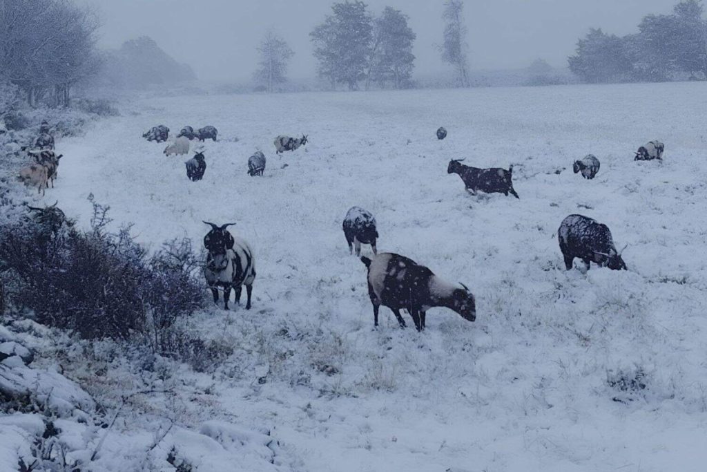
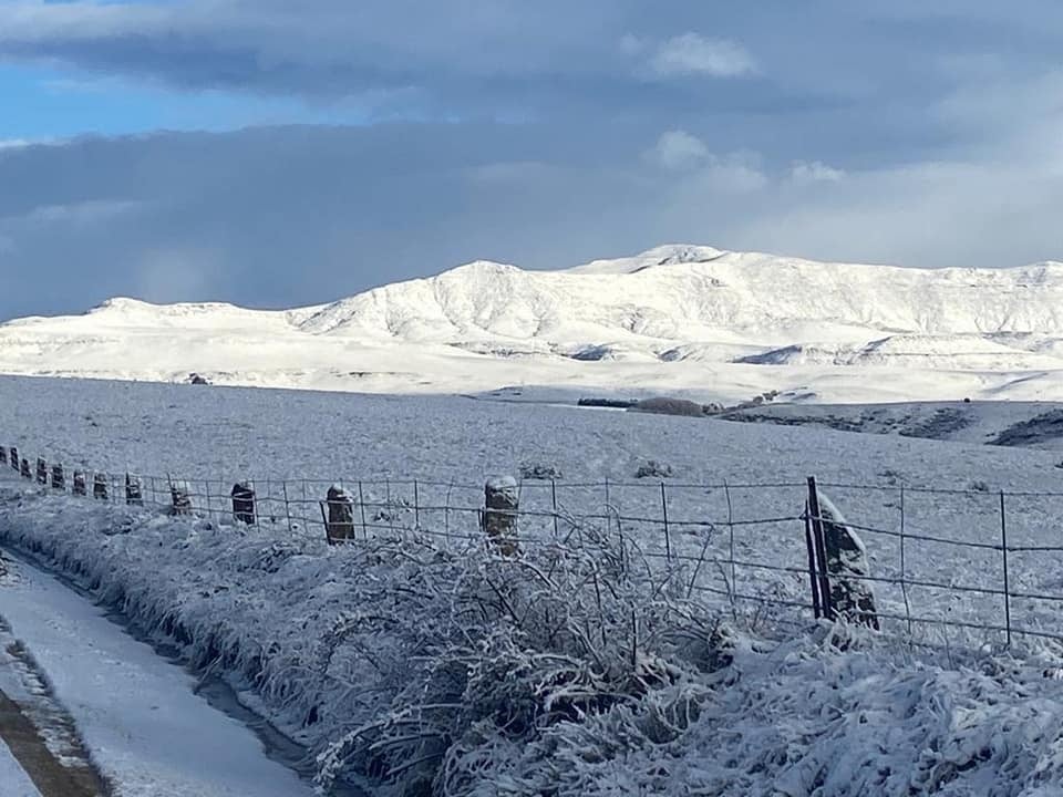
According to the South African Weather Service (SAWS), disruptive snow is expected to persist in parts of the Eastern Cape while wet and windy conditions continue to lash the Western and Northern Cape

SAWS has issued a Yellow Level 1 warning for disruptive snowfall in the north-western Eastern Cape, covering high-altitude areas such as Barkly East, Senqu, and passes like Naude’s Neck and Wapadsberg :contentReference[oaicite:3]{index=3}.
Road closures have already been reported on R58 and R61, with authorities urging motorists to drive only if necessary
A Yellow Level 4 warning remains in place for disruptive rainfall in western parts of the Western Cape—including Cape Town metro, Overberg, and West Coast—forecasting heavy showers that may cause flash flooding

Strong winds and rough seas are forecast along the coast between Saldanha Bay and East London, with a Yellow Level 2 warning for damaging waves and winds in force :contentReference[oaicite:7]{index=7}.
Unsettled weather brackets some inland areas:
| Region | Weather | Key Warning | Notes |
|---|---|---|---|
| Eastern Cape Highlands | Snow & icy roads | Yellow Level 1 | Mountain passes may close |
| Western Cape (Coastal & Metro) | Heavy rain, gusty winds | Yellow Level 4 | Potential floods & mudslides |
| Northern Cape Coast | Wind & high waves | Yellow Level 2 | Avoid sea travel |
| Free State Highlands | Cold, showers, possible snow | Yellow Level 2–3 | Frost, icy roads possible |
SAWS meteorologists have emphasised:
“Disruptive snow over eastern high ground, and heavy rain with strong winds along the Western Cape’s coast—conditions warrant high caution and readiness.”
This post BY News24
for more news visit our website